Menu • Quick Links • Search
Login
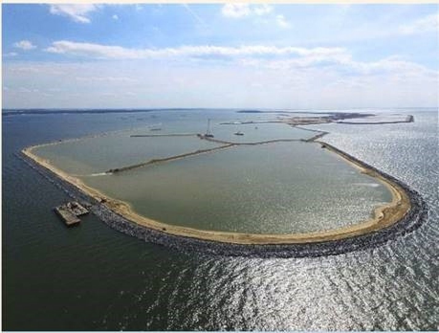
ClosePoplar Island in Chesapeake Bay is a national model for habitat restoration and the beneficial use of dredged material. Poplar Island is being returned to its former size and important ecological function while helping to ensure the economic vitality of the region.
The Corps of Engineers wanted a structure free from corrosion from the brackish waters of the Chesapeake Bay Estuary.
In 1846, Poplar Island boasted more than 1,000 acres. During the early 1900’s the island supported a thriving community of about 100 inhabitants, several farms, a school, a church, a post office and a sawmill. By the 1920’s, residents began leaving the island as more and more of its landmass fell victim to erosion. By the early 1990’s, all that remained were several small clusters of islets rising just above the surface of the water. Reduced to about four acres, Poplar Island’s disappearance seemed imminent.
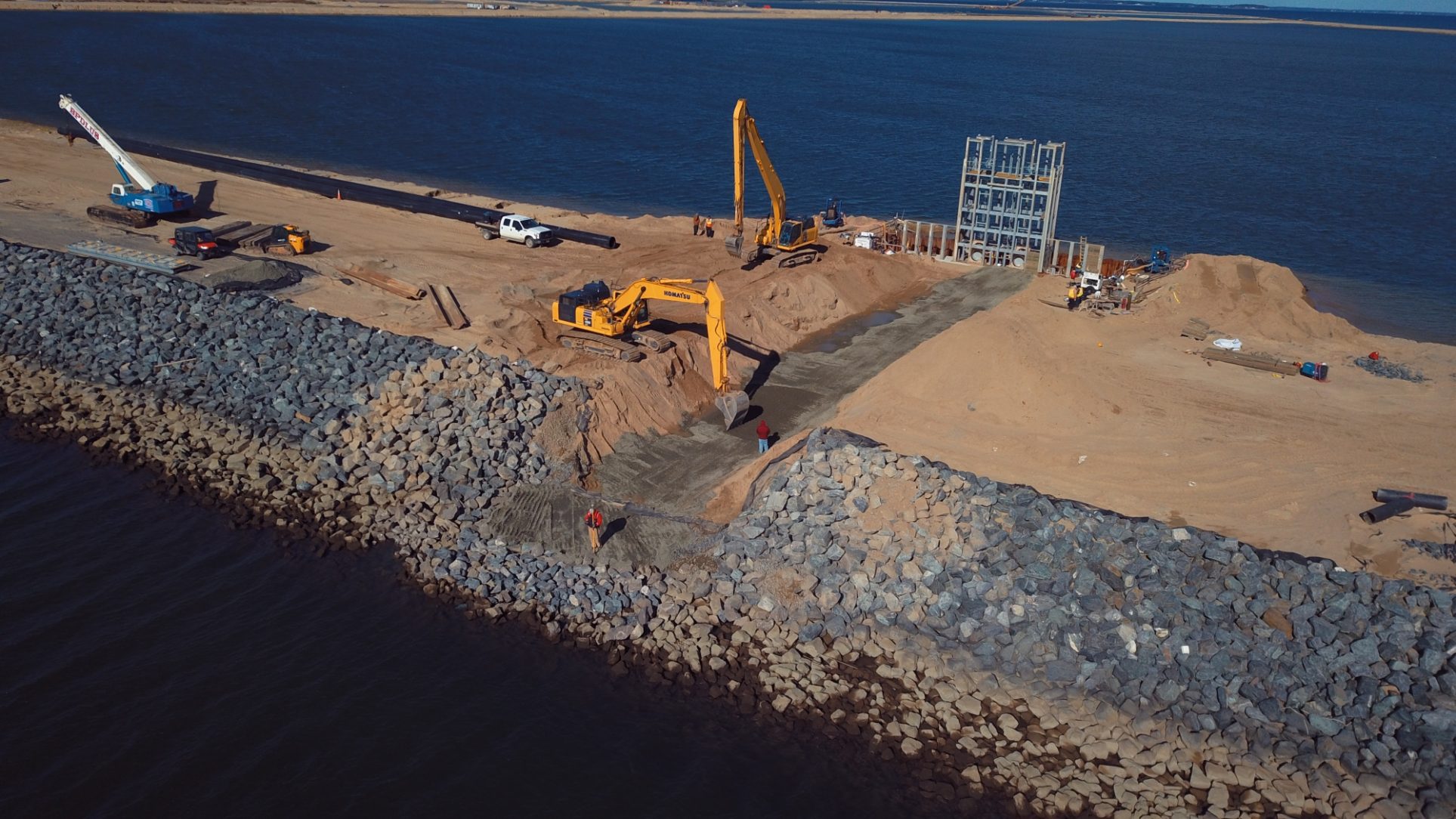
Working in partnership with the Maryland Department of Transportation, Maryland Port Administration and other Federal and State agencies, the Corps of Engineers are currently restoring Poplar Island by using dredged material from the Baltimore Harbor and Channels Federal navigation projects. Approximately 68 million cubic yards of dredged material will be placed to develop 776 acres of wetlands, 829 acres of uplands and 110 acres of open water embayment.
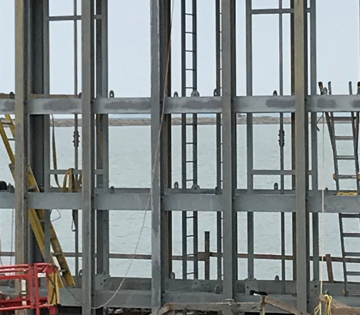
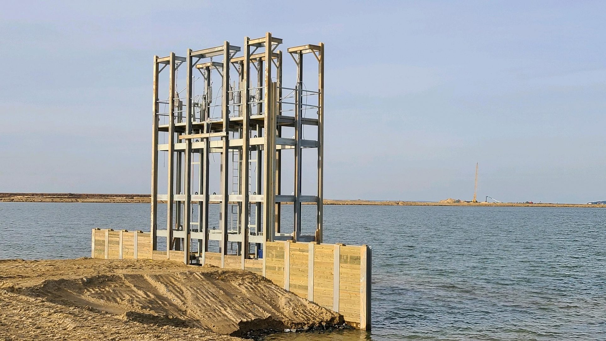
The spillway control structure is designed to regulate water levels as the tidal wetland is established. As dredge material is placed in the cell, water will drain through the spillway, “decanting” the cell to create a tidal wetland inside the cell. The spillway will connect the wetland to the bay to allow full tidal exchange, which is vital to allow marsh plants to become established. The spillway control structure will also stabilize the cell to minimize erosion as the re-establishment process evolves. The Corps of Engineers wanted a structure free from corrosion from the brackish waters of the Chesapeake Bay Estuary. Robust corrosion protection for the control structure is necessary since it may take several years of drainage and grading to achieve the desired topography. After full stabilization has been achieved, the control structure will be replaced with open breaches to the bay.
Details
Award Class
Newly Complete
Award Sectors
Water & Marine
Environment
Temperate Marine
Location
Talbot County, MD United States
Reasons for Galvanizing
Coating Durability, Corrosion Performance, Prior HDG Experience, Sustainability
Components Galvanized
Beams, Diaphragms, Angles, Plates, Frames
Tonnage/Size
Steel: 10
HDG: 10
Team Members
Specifier
U S Army Corps of Engineers
Engineer
Phil Coward
H&L Contracting
Fabricator
Jane Mulvihill
Di Highway Signs and Structures
Owner
U S Fish and Wildlife Service
Member Galvanizer(s)
Hubbell Galvanizing
Thank you! Your vote has been accepted.


